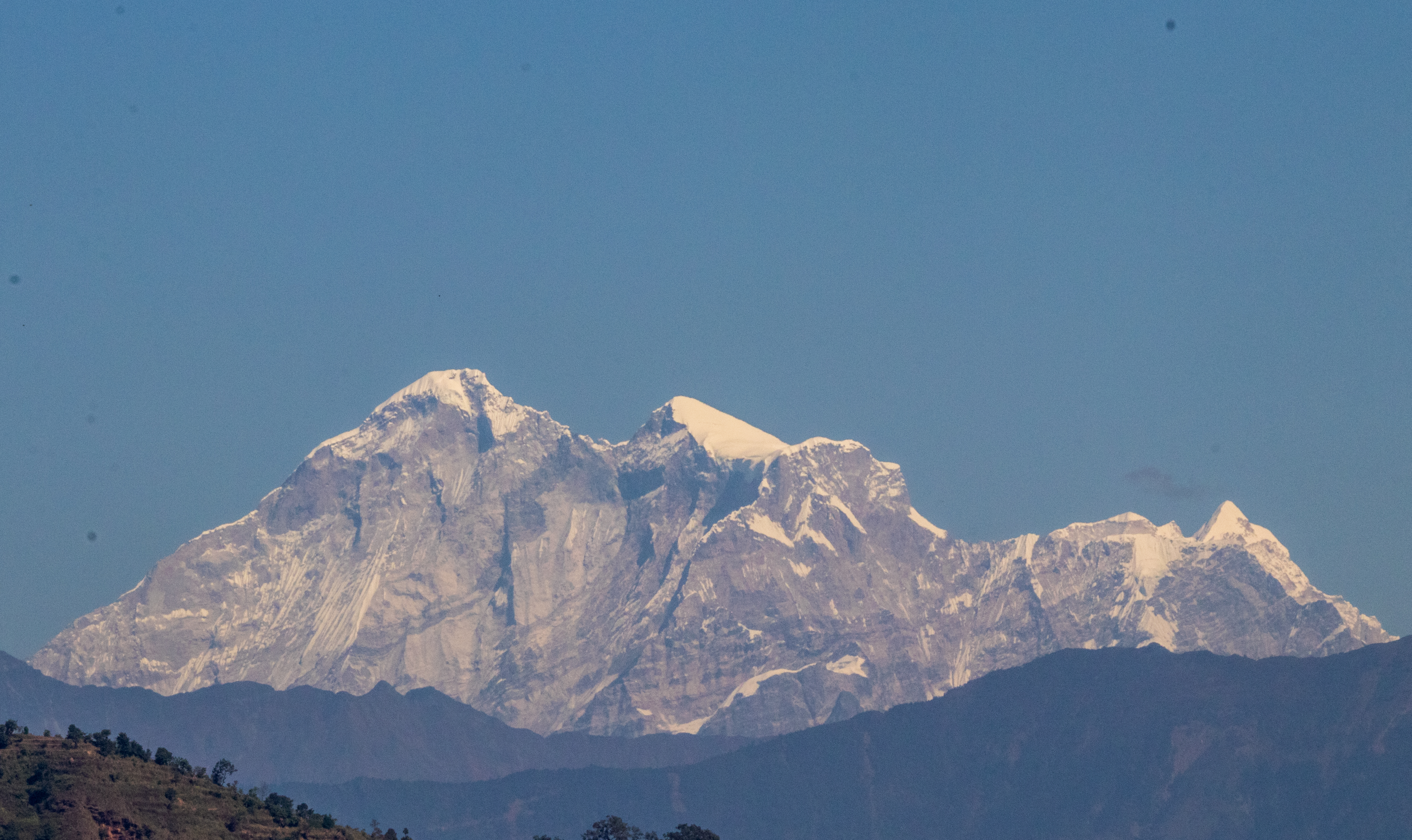
Gaurishankar.
height
Altitude
7,134m
location_on
Region
Dolakha District
verified
Tier
Class A
About Gaurishankar
A sacred mountain for both Hindus and Buddhists, it is the second highest peak of the Rolwaling Himal.
Geographic Data
public
Latitude
27.95360000° N
map
Longitude
86.33530000° E
Expedition Info
description
Permit
Required
landscape
Type
Technical
Live Map
Gaurishankar